Tiedosto:World Flag (2004).svg

Tämän PNG-esikatselun koko koskien SVG-tiedostoa: 800 × 480 kuvapistettä. Muut resoluutiot: 320 × 192 kuvapistettä | 1 024 × 614 kuvapistettä | 1 280 × 768 kuvapistettä | 2 560 × 1 536 kuvapistettä.
Alkuperäinen tiedosto (SVG-tiedosto; oletustarkkuus 1 000 × 600 kuvapistettä; tiedostokoko 3 KiB)
| Tämä tiedosto on tiedostotietokanta Wikimedia Commonsista. Tiedot kuvaussivulta näkyvät alla. | .svg?uselang=fi) |
Tiedoston kuvaussivu Commonsissa |
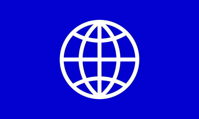
Flag 2004 world
Yhteenveto
| Kuvaus |
English: The image is of a flag representing the Earth. The flag has an overall dimensional ratio of width: three, and length: five. It consists of a field of blue (web color #0000CC definitive, PMS Blue 072 C suggested), in the center of which is a circular ideographic symbol for the Earth as the flag's charge. The diameter of the charge is two-fifths of the flag’s horizontal length. The symbol depicts a stylized cartographic projection (Nicolosi globular) and is rendered in white curves (web color #FFFFFF) over the field of blue. The thickness of each of the curves of the charge—a circle surrounding four circular arcs and two line segments, all suggesting various latitudes and longitudes—is one-twentieth of its overall diameter. (See construction sheet.) |
|||
| Päiväys | ||||
| Lähde | Oma teos | |||
| Tekijä | Philip Kanellopoulos (User:Pipcallas = User:Pkanella), https://www.peristanom.org/ | |||
| Käyttöoikeus (Tämän tiedoston uudelleenkäyttö) |
|
|||
| Muut versiot |
|


Tiedoston historia
Päiväystä napsauttamalla näet, millainen tiedosto oli kyseisellä hetkellä.
.svg&dir=prev)
.svg&offset=&limit=20)
.svg&offset=&limit=50)
.svg&offset=&limit=100)
.svg&offset=&limit=250)
.svg&offset=&limit=500)
.svg&offset=20150526075209)
| Päiväys | Pienoiskuva | Koko | Käyttäjä | Kommentti | |
|---|---|---|---|---|---|
| nykyinen | 13. helmikuuta 2023 kello 18.52 | | 1 000 × 600 (3 KiB) | Pipcallas | I improved the accuracy even more. |
| 25. tammikuuta 2023 kello 20.13 |  | 1 000 × 600 (3 KiB) | Pipcallas | Saved as "Plain SVG"—(more accurate than "Optimized SVG"). | |
| 9. tammikuuta 2023 kello 13.03 |  | 1 000 × 600 (6 KiB) | Pkanella | I improved the accuracy even more. | |
| 8. tammikuuta 2023 kello 05.18 |  | 1 000 × 600 (6 KiB) | Pipcallas | I improved the accuracy slightly. | |
| 14. heinäkuuta 2021 kello 14.10 |  | 1 000 × 600 (6 KiB) | Pipcallas | I simplified the cartographic projection to Nicolosi globular. | |
| 22. maaliskuuta 2018 kello 09.18 |  | 1 000 × 600 (3 KiB) | Pkanella | I aligned the latitudes and longitudes to a map projection for the most accurate version I can manage. | |
| 22. maaliskuuta 2018 kello 03.33 |  | 1 000 × 600 (3 KiB) | Pkanella | Reverted to version as of 22:34, 9 March 2018 (UTC) The subsequent version turned out to be less accurate. | |
| 19. maaliskuuta 2018 kello 03.17 |  | 1 000 × 600 (4 KiB) | Pkanella | I further improved the accuracy of the placement of the lines. | |
| 10. maaliskuuta 2018 kello 01.34 |  | 1 000 × 600 (3 KiB) | Pkanella | I increased the thickness of the white lines from 1/21 to 1/20 of the diameter of the circle. | |
| 26. toukokuuta 2015 kello 10.52 |  | 1 000 × 600 (3 KiB) | Pkanella | I darkened the blue color slightly. |
Tiedoston käyttö
Seuraava sivu käyttää tätä tiedostoa:
Tiedoston järjestelmänlaajuinen käyttö
Seuraavat muut wikit käyttävät tätä tiedostoa:
- Käyttö kohteessa ar.wikipedia.org
- Käyttö kohteessa en.wikipedia.org
- Käyttö kohteessa es.wikipedia.org
- Real Madrid Club de Fútbol
- Fútbol Club Barcelona
- Club Atlético Boca Juniors
- Athletic Club
- Millonarios Fútbol Club
- FC Schalke 04
- Valencia Club de Fútbol
- Club Atlético River Plate
- América de Cali
- Club Independiente Santa Fe
- Club Atlético Independiente
- Club Sporting Cristal
- Sevilla Fútbol Club
- Juventus de Turín
- Club de Fútbol Cruz Azul
- Inter de Milán
- Instituto Peruano del Deporte
- Racing Club
- Club Atlético de Madrid
- Club Deportivo Universidad César Vallejo
- Real Zaragoza
- Club Atlético Vélez Sarsfield
- Club Centro Deportivo Municipal
- Club Nacional de Football
- Club Atlético Peñarol
- Asociación Atlética Argentinos Juniors
- São Paulo Futebol Clube
- Ajax de Ámsterdam
- Borussia Dortmund
- Atlético Nacional
- PSV Eindhoven
- Rafael Nadal
- Associazione Calcio Milan
- Arsenal Football Club
- Manchester United Football Club
- Club Sport Emelec
- Sport Club Corinthians Paulista
- Sport Club Internacional
- Liverpool Football Club
- Deportivo Cali
- Villarreal Club de Fútbol
- Associazione Sportiva Roma
- Junior de Barranquilla
- Torino Football Club
Näytä lisää tämän tiedoston järjestelmänlaajuista käyttöä.
.svg)
.svg)