Tiedosto:Tshiuetin Rail Transportation map.png
Tarkempaa kuvaa ei ole saatavilla.
Tshiuetin_Rail_Transportation_map.png (714 × 566 kuvapistettä, 456 KiB, MIME-tyyppi: image/png)
| Tämä tiedosto on tiedostotietokanta Wikimedia Commonsista. Tiedot kuvaussivulta näkyvät alla. |  |
Tiedoston kuvaussivu Commonsissa |
| Kuvaus |
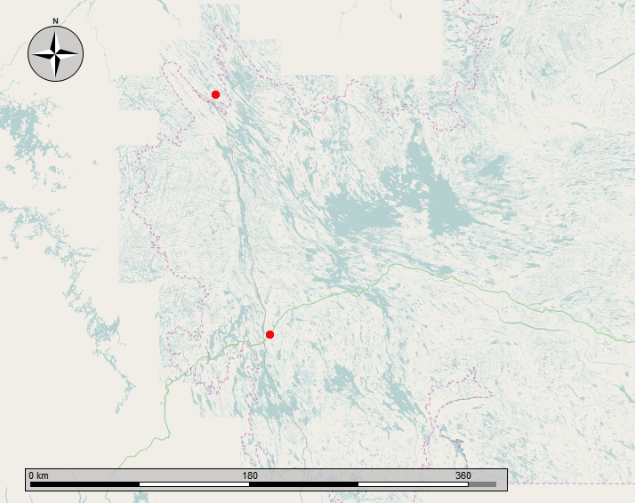
English: Map showing the Tshiuetin Rail Transportation line from Schefferville Quebec to Emeril Junction, Labrador. The rail line runs between the two red dots as shown. |
|||
| Päiväys | ||||
| Lähde | Oma teos | |||
| Tekijä | Self-made by the uploader, using OpenStreetMaps and GIMP | |||
| Käyttöoikeus (Tämän tiedoston uudelleenkäyttö) |
|
Tiedoston historia
Päiväystä napsauttamalla näet, millainen tiedosto oli kyseisellä hetkellä.
| Päiväys | Pienoiskuva | Koko | Käyttäjä | Kommentti | |
|---|---|---|---|---|---|
| nykyinen | 7. tammikuuta 2014 kello 06.24 | | 714 × 566 (456 KiB) | Oaktree b | {{Information |Description ={{en|1=Map showing the Tshiuetin Rail Transportation line from Schefferville Quebec to Emeril Junction, Labrador. The rail line runs between the two red dots as shown. }} |Source ={{own}} |Author =Self-mad... |
Tiedoston käyttö
Seuraava sivu käyttää tätä tiedostoa:
Tiedoston järjestelmänlaajuinen käyttö
Seuraavat muut wikit käyttävät tätä tiedostoa:
- Käyttö kohteessa en.wikipedia.org
- Käyttö kohteessa fr.wikipedia.org