Tiedosto:OpenStreetMap homepage 2022 en.png

Tämän esikatselun koko: 800 × 510 kuvapistettä. Muut resoluutiot: 320 × 204 kuvapistettä | 640 × 408 kuvapistettä | 1 024 × 653 kuvapistettä | 1 280 × 816 kuvapistettä | 2 042 × 1 302 kuvapistettä.
Alkuperäinen tiedosto (2 042 × 1 302 kuvapistettä, 475 KiB, MIME-tyyppi: image/png)
| Tämä tiedosto on tiedostotietokanta Wikimedia Commonsista. Tiedot kuvaussivulta näkyvät alla. |  |
Tiedoston kuvaussivu Commonsissa |
Yhteenveto
| Kuvaus |
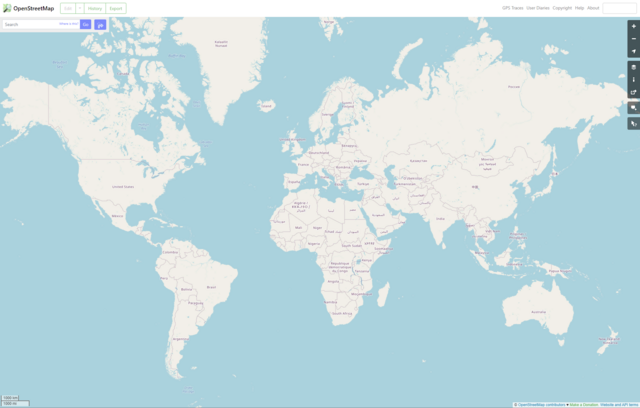
English: OpenStreetMap homepage 2022 (en)
Brezhoneg: Pajenn degemer OpenStreetMap e 2022 (e saozneg) |
| Päiväys | |
| Lähde | http://www.openstreetmap.org/ |
| Tekijä | OpenStreetMap contributors |
| Muut versiot |
|


| Kuvailu |
Screenshot of the OpenStreetMap homepage in 2022 (in English) This map of the world was created from OpenStreetMap project data, collected by the community. This map may be incomplete, and may contain errors. Don't rely solely on it for navigation. |
|||
| Päiväys | ||||
| Lähde | You may find a page on the OpenStreetMap wiki page for world | |||
| Tekijä |
OpenStreetMap contributors |
|||
| Käyttöoikeus (Tämän tiedoston uudelleenkäyttö) |
OpenStreetMap data is available under the Open Database License (details). Standard style map tiles are licensed as ODbL Produced Works.
|
|||
| Georeferointi | If inappropriate please set warp_status = skip to hide. |
Lisenssi
Tämä tiedosto on lisensoitu Creative Commons Nimeä-JaaSamoin 2.0 Yleinen -lisenssillä.
- Voit:
- jakaa – kopioida, levittää ja esittää teosta
- remiksata – valmistaa muutettuja teoksia
- Seuraavilla ehdoilla:
- nimeäminen – Sinun on mainittava lähde asianmukaisesti, tarjottava linkki lisenssiin sekä merkittävä, mikäli olet tehnyt muutoksia. Voit tehdä yllä olevan millä tahansa kohtuullisella tavalla, mutta et siten, että annat ymmärtää lisenssinantajan suosittelevan sinua tai teoksen käyttöäsi.
- jaa samoin – Jos muutat tai perustat tähän työhön, voit jakaa tuloksena syntyvää työtä vain tällä tai tämän kaltaisella lisenssillä.
Tiedoston historia
Päiväystä napsauttamalla näet, millainen tiedosto oli kyseisellä hetkellä.
| Päiväys | Pienoiskuva | Koko | Käyttäjä | Kommentti | |
|---|---|---|---|---|---|
| nykyinen | 21. toukokuuta 2022 kello 10.52 | | 2 042 × 1 302 (475 KiB) | GTRus | Uploaded a work by OpenStreetMap contributors from http://www.openstreetmap.org/ with UploadWizard |
Tiedoston käyttö
Seuraava sivu käyttää tätä tiedostoa:
Tiedoston järjestelmänlaajuinen käyttö
Seuraavat muut wikit käyttävät tätä tiedostoa:
- Käyttö kohteessa ar.wikipedia.org
- Käyttö kohteessa ast.wikipedia.org
- Käyttö kohteessa az.wikipedia.org
- Käyttö kohteessa br.wikipedia.org
- Käyttö kohteessa ca.wikipedia.org
- Käyttö kohteessa de.wikipedia.org
- Käyttö kohteessa eo.wikipedia.org
- Käyttö kohteessa es.wikipedia.org
- Käyttö kohteessa eu.wikipedia.org
- Käyttö kohteessa fr.wikipedia.org
- Käyttö kohteessa hu.wikipedia.org
- Käyttö kohteessa oc.wikipedia.org
- Käyttö kohteessa ru.wikipedia.org
- Käyttö kohteessa ru.wikinews.org
- Käyttö kohteessa vec.wikipedia.org
- Käyttö kohteessa www.wikidata.org