Tiedosto:Mapa Canarias Gran Canaria.svg

Tämän PNG-esikatselun koko koskien SVG-tiedostoa: 800 × 336 kuvapistettä. Muut resoluutiot: 320 × 134 kuvapistettä | 640 × 269 kuvapistettä | 1 024 × 430 kuvapistettä | 1 280 × 537 kuvapistettä | 2 560 × 1 074 kuvapistettä | 977 × 410 kuvapistettä.
Alkuperäinen tiedosto (SVG-tiedosto; oletustarkkuus 977 × 410 kuvapistettä; tiedostokoko 26 KiB)
| Tämä tiedosto on tiedostotietokanta Wikimedia Commonsista. Tiedot kuvaussivulta näkyvät alla. |  |
Tiedoston kuvaussivu Commonsissa |
W3C-validity not checked.
Yhteenveto
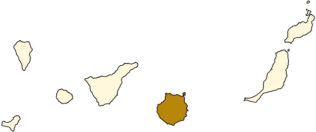
| Kuvaus | Map of Gran Canaria, Canary Islands. |
| Päiväys | |
| Lähde | Image:Mapa Canarias.svg |
| Tekijä | Júlio Reis |
Lisenssi
Tämä tiedosto on lisensoitu Creative Commons Nimeä-JaaSamoin 3.0 Ei sovitettu -lisenssillä.
- Voit:
- jakaa – kopioida, levittää ja esittää teosta
- remiksata – valmistaa muutettuja teoksia
- Seuraavilla ehdoilla:
- nimeäminen – Sinun on mainittava lähde asianmukaisesti, tarjottava linkki lisenssiin sekä merkittävä, mikäli olet tehnyt muutoksia. Voit tehdä yllä olevan millä tahansa kohtuullisella tavalla, mutta et siten, että annat ymmärtää lisenssinantajan suosittelevan sinua tai teoksen käyttöäsi.
- jaa samoin – Jos muutat tai perustat tähän työhön, voit jakaa tuloksena syntyvää työtä vain tällä tai tämän kaltaisella lisenssillä.
Tiedoston historia
Päiväystä napsauttamalla näet, millainen tiedosto oli kyseisellä hetkellä.
| Päiväys | Pienoiskuva | Koko | Käyttäjä | Kommentti | |
|---|---|---|---|---|---|
| nykyinen | 3. maaliskuuta 2008 kello 05.35 | | 977 × 410 (26 KiB) | CarolSpears | |
| 19. heinäkuuta 2006 kello 20.37 |  | 977 × 410 (27 KiB) | Tintazul | {{Tintazul |Description=Map of Gran Canaria, Canary Islands. |Source=Image:Mapa Canarias.svg |Date=19 July 2006 }} Category:Maps of the Canary Islands |
Tiedoston käyttö
Tätä tiedostoa ei käytetä millään sivulla.
Tiedoston järjestelmänlaajuinen käyttö
Seuraavat muut wikit käyttävät tätä tiedostoa:
- Käyttö kohteessa af.wikipedia.org
- Käyttö kohteessa cs.wikipedia.org
- Käyttö kohteessa eo.wikipedia.org
- Käyttö kohteessa fr.wikipedia.org
- Las Palmas de Grande Canarie
- Santa Brígida
- Valsequillo de Gran Canaria
- Vega de San Mateo
- Telde
- Ingenio
- Agüimes
- Santa Lucía de Tirajana
- Mogán
- Tejeda
- San Bartolomé de Tirajana
- Artenara
- Agaete
- Gáldar
- Santa María de Guía de Gran Canaria
- Moya (Grande Canarie)
- Valleseco
- Firgas
- Arucas
- Teror (Grande Canarie)
- La Aldea de San Nicolás
- Utilisateur:Berdea/Agaete
- Circonscription électorale de Grande Canarie
- Käyttö kohteessa gl.wikipedia.org
- Käyttö kohteessa hr.wikipedia.org
- Käyttö kohteessa la.wikipedia.org
- Käyttö kohteessa oc.wikipedia.org
- Käyttö kohteessa pl.wikivoyage.org
- Käyttö kohteessa sc.wikipedia.org
- Käyttö kohteessa sh.wikipedia.org
- Käyttö kohteessa sr.wikipedia.org
- Käyttö kohteessa www.wikidata.org
- Käyttö kohteessa zh.wikipedia.org