Tiedosto:Canada location map.svg

Tämän PNG-esikatselun koko koskien SVG-tiedostoa: 706 × 599 kuvapistettä. Muut resoluutiot: 283 × 240 kuvapistettä | 566 × 480 kuvapistettä | 905 × 768 kuvapistettä | 1 207 × 1 024 kuvapistettä | 2 413 × 2 048 kuvapistettä | 1 084 × 920 kuvapistettä.
Alkuperäinen tiedosto (SVG-tiedosto; oletustarkkuus 1 084 × 920 kuvapistettä; tiedostokoko 155 KiB)
| Tämä tiedosto on tiedostotietokanta Wikimedia Commonsista. Tiedot kuvaussivulta näkyvät alla. |  |
Tiedoston kuvaussivu Commonsissa |
Yhteenveto
| Kuvaus |
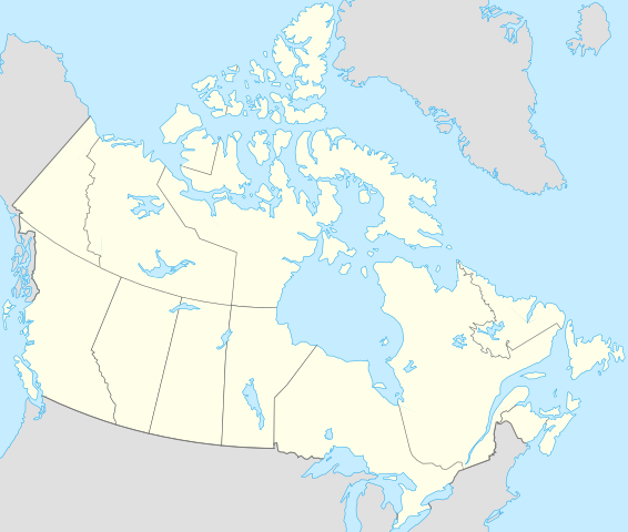
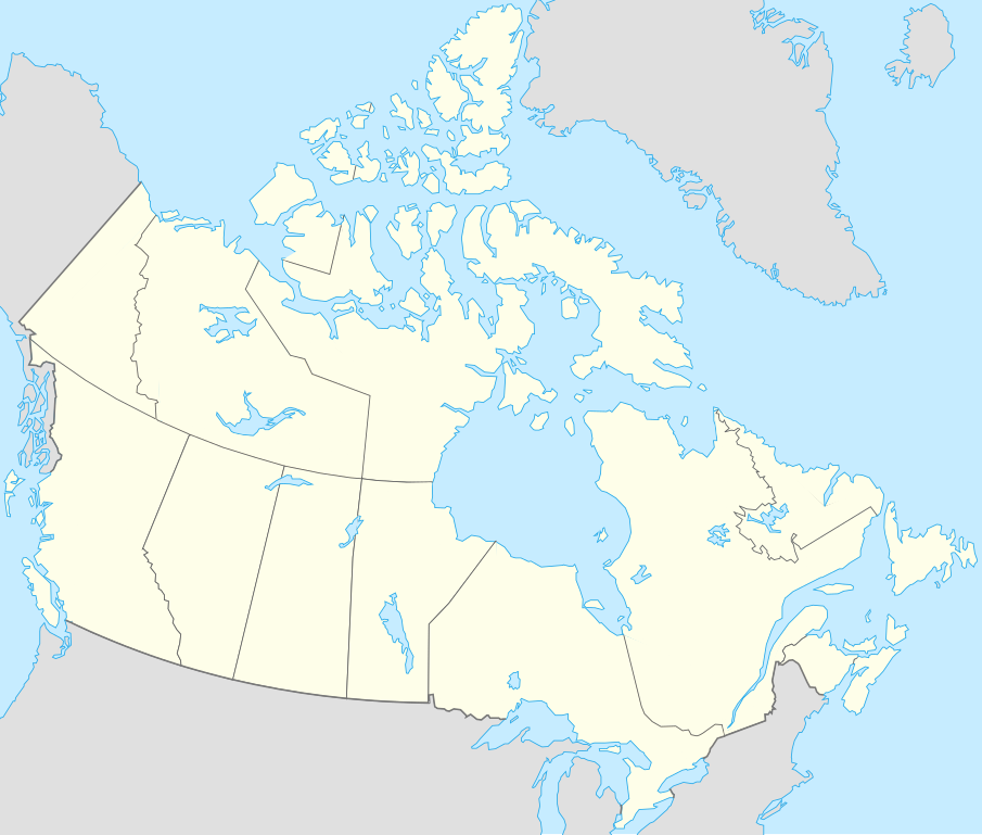
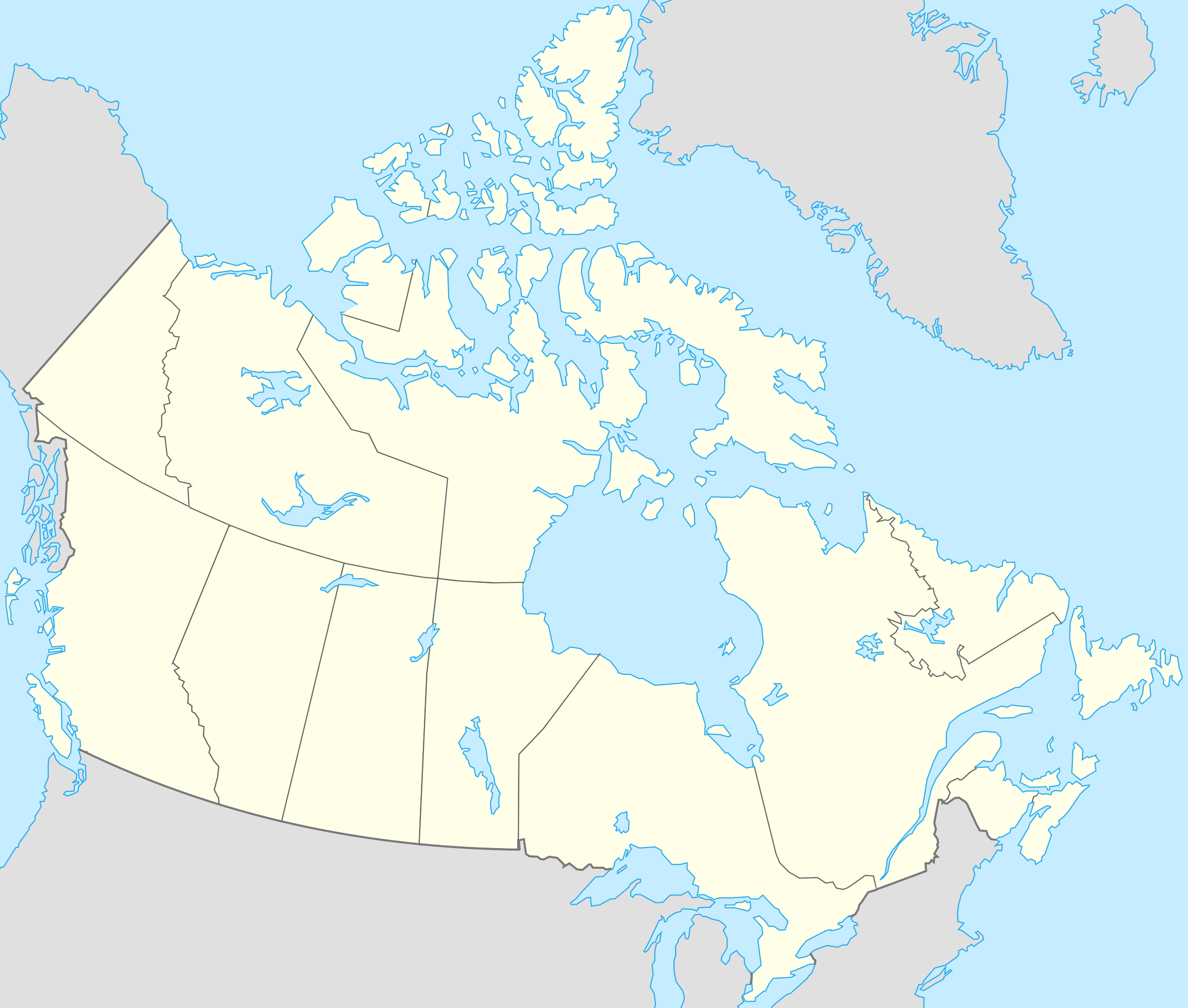
Français : Version recadrée et épurée de Carte administrative du Canada.svg pour la géolocation du Canada. Le cadrage est x=80px, y=166px, height=920, width=1084. Quelques positions :
English: cropped version of Carte administrative du Canada.svg for map location. |
|||||||||||||||||||||
| Päiväys | ||||||||||||||||||||||
| Lähde | Canada (geolocalisation).svg by STyx | |||||||||||||||||||||
| Tekijä | Yug | |||||||||||||||||||||
| Muut versiot |
Tämän tiedoston johdannaisteoksia: |
|||||||||||||||||||||
| SVG kehittely | Tämä vektorigrafiikkatiedosto luotiin käyttäen apuna ohjelmaa Inkscape.
|


.svg)
.svg)
}}
Minä, tämän teoksen tekijänoikeuksien haltija, julkaisen täten tämän teoksen seuraavilla lisensseillä:
Tämä tiedosto on lisensoitu Creative Commons Nimeä-JaaSamoin 2.5 Yleinen, 2.0 Yleinen ja 1.0 Yleinen -lisensseillä.
- Voit:
- jakaa – kopioida, levittää ja esittää teosta
- remiksata – valmistaa muutettuja teoksia
- Seuraavilla ehdoilla:
- nimeäminen – Sinun on mainittava lähde asianmukaisesti, tarjottava linkki lisenssiin sekä merkittävä, mikäli olet tehnyt muutoksia. Voit tehdä yllä olevan millä tahansa kohtuullisella tavalla, mutta et siten, että annat ymmärtää lisenssinantajan suosittelevan sinua tai teoksen käyttöäsi.
- jaa samoin – Jos muutat tai perustat tähän työhön, voit jakaa tuloksena syntyvää työtä vain tällä tai tämän kaltaisella lisenssillä.

|
Voit kopioida, levittää ja/tai muuttaa tätä asiakirjaa GNU Free Documentation License -lisenssin version 1.2 tai minkä tahansa Free Software Foundationin julkaiseman myöhemmän version ehtojen alaisena; ei koske muuttumattomia kohtia, etukannen tekstejä eikä takakannen tekstejä. Kopio tästä lisenssistä on saatavilla osiossa GNU Free Documentation License. |
| Tämä tiedosto on lisensoitu Creative Commons Nimeä-JaaSamoin 3.0 Ei sovitettu -lisenssillä. | ||
| ||
| Lisensointimerkintä lisätiin tähän tiedostoon osana GFDL-lisensointipäivitystä. |
Voit valita haluamasi lisenssin.
Alkuperäinen tallennusloki
This image is a derivative work of the following images:
- Canada (geolocalisation).svg licensed with Cc-by-sa-2.5,2.0,1.0, GFDL
- 2007-02-07T01:48:11Z STyx 1084x920 (95884 Bytes) retouche mineure
- 2007-02-07T01:41:09Z STyx 1084x920 (95939 Bytes) {{Information |Description= *{{fr}} Version recadrée et épurée de [[:Image:Carte administrative du Canada.svg]] pour la géolocation du Canada. Le cadrage est x=80px, y=166px, height=920, width=10
Uploaded with derivativeFX
Tiedoston historia
Päiväystä napsauttamalla näet, millainen tiedosto oli kyseisellä hetkellä.
| Päiväys | Pienoiskuva | Koko | Käyttäjä | Kommentti | |
|---|---|---|---|---|---|
| nykyinen | 17. huhtikuuta 2021 kello 22.27 | | 1 084 × 920 (155 KiB) | Akeosnhaoe | draw in w:Killiniq Island as part of Nunavut and fix Smallwood Reservoir color |
| 16. huhtikuuta 2021 kello 21.24 |  | 1 084 × 920 (155 KiB) | Akeosnhaoe | recreate previous 2 edits from the original to fix some borders on the water not being blue | |
| 26. tammikuuta 2014 kello 19.13 |  | 1 084 × 920 (67 KiB) | Ras67 | -frame | |
| 19. heinäkuuta 2008 kello 01.53 |  | 1 084 × 920 (113 KiB) | Yug | {{Information |Description= |Source= |Date= |Author= |Permission= |other_versions= }} | |
| 18. heinäkuuta 2008 kello 01.18 |  | 1 084 × 920 (155 KiB) | Yug | {{Information |Description=*{{fr}} Version recadrée et épurée de Image:Carte administrative du Canada.svg pour la géolocation du Canada. Le cadrage est x=80px, y=166px, height=920, width=1084. Quelques positions : <center><table style="border:1px |
Tiedoston käyttö
Seuraavat 60 sivua käyttävät tätä tiedostoa:
- Alert
- Amundseninlahti
- Annapolis Royal
- Arviat
- Baker Lake
- Cambridge Bay
- Campbell River
- Cape Dorset
- Carcross
- Charlottetown
- Chatham-Kent
- Chesterfield Inlet
- Churchillin satama
- Clyde River
- Collingwood (Ontario)
- Coral Harbour
- Dauphin (kaupunki)
- Delta (Kanada)
- Fogo Island
- Funk Island
- Gjoa Haven
- Grise Fiord
- Hall Beach
- Igloolik
- Inuvik
- Iqaluit
- Jamesinlahti
- Kawartha Lakes
- Kugaaruk
- Kugluktuk
- Kuujjuaqin lentoasema
- La Tuque
- Labrador City
- Labradorinmeri
- Laval (Kanada)
- Maple Ridge (Brittiläinen Kolumbia)
- Maskinongé (Québec)
- North Vancouver (kunta)
- Pangnirtung
- Pond Inlet
- Portapique
- Qikiqtarjuaq
- Rankin Inlet
- Repulse Bay
- Resolute
- Richmond (Brittiläinen Kolumbia)
- Rouyn-Noranda
- Saint-Ours (Québec)
- Sanikiluaq
- Surrey (Kanada)
- Taloyoak
- Tatshenshini-Alsekin kansallispuisto
- Ungavanlahti
- Vancouverin satama
- West Elgin
- West Vancouver
- Whale Cove
- Whitehorse
- Yellowknife
- Malline:Sijaintikartta Kanada
Tiedoston järjestelmänlaajuinen käyttö
Seuraavat muut wikit käyttävät tätä tiedostoa:
- Käyttö kohteessa af.wikipedia.org
- Käyttö kohteessa als.wikipedia.org
- Käyttö kohteessa an.wikipedia.org
- Käyttö kohteessa ar.wikipedia.org
- Käyttö kohteessa arz.wikipedia.org
- Käyttö kohteessa ast.wikipedia.org
- Gran Premiu de Canadá de 2007
- Gran Premiu de Canadá de 2006
- Gran Premiu de Canadá de 2008
- Montes Rocosos
- Windsor (Ontario)
- Ontario
- Islla del Cabu Bretón
- Nueva Escocia
- Islla Valdés
- Alberta
- Nueva Brunswick
- Nunavut
- Islla Killiniq
- Aeropuertu de Powell River
- London (Ontario)
- Toronto
- York University
- Alert
Näytä lisää tämän tiedoston järjestelmänlaajuista käyttöä.