Tiedosto:California county map.svg

Tämän PNG-esikatselun koko koskien SVG-tiedostoa: 358 × 599 kuvapistettä. Muut resoluutiot: 143 × 240 kuvapistettä | 287 × 480 kuvapistettä | 459 × 768 kuvapistettä | 612 × 1 024 kuvapistettä | 1 223 × 2 048 kuvapistettä | 512 × 857 kuvapistettä.
Alkuperäinen tiedosto (SVG-tiedosto; oletustarkkuus 512 × 857 kuvapistettä; tiedostokoko 706 KiB)
| Tämä tiedosto on tiedostotietokanta Wikimedia Commonsista. Tiedot kuvaussivulta näkyvät alla. |  |
Tiedoston kuvaussivu Commonsissa |
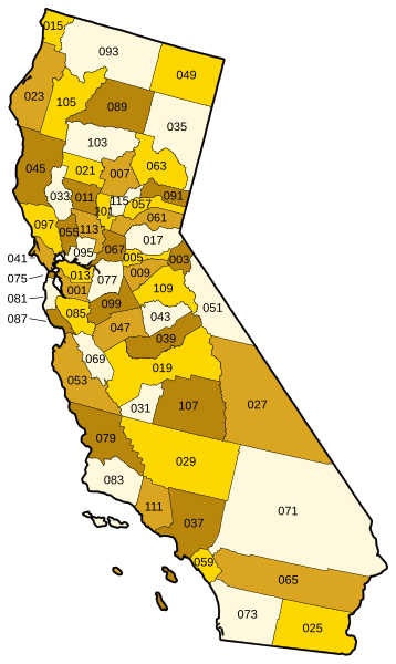
Vector map of California showing state and county borders. Derived from a US Census publication. Numbered using FIPS subcode (see en:List of counties in California.)
This image or file is a work of a United States Census Bureau employee, taken or made as part of that person's official duties. As a work of the U.S. federal government, the image is in the public domain.
|
 |
derivative works
Tämän tiedoston johdannaisteoksia: California counties outline map.svg
Tiedoston historia
Päiväystä napsauttamalla näet, millainen tiedosto oli kyseisellä hetkellä.
| Päiväys | Pienoiskuva | Koko | Käyttäjä | Kommentti | |
|---|---|---|---|---|---|
| nykyinen | 22. syyskuuta 2006 kello 00.01 | | 512 × 857 (706 KiB) | Tintazul | County map corrected and coloured, with FIPS subcode |
| 2. tammikuuta 2006 kello 22.09 |  | 94 × 160 (706 KiB) | Fastfission~commonswiki | Vector map of California showing state and county borders. Derived from a US Census publication. {{PD-USGov-DOC-Census}} Category:Maps of California |
Tiedoston käyttö
Tätä tiedostoa ei käytetä millään sivulla.
Tiedoston järjestelmänlaajuinen käyttö
Seuraavat muut wikit käyttävät tätä tiedostoa:
- Käyttö kohteessa fr.wikipedia.org