Tiedosto:Ashford UK locator map.svg

Tämän PNG-esikatselun koko koskien SVG-tiedostoa: 800 × 561 kuvapistettä. Muut resoluutiot: 320 × 225 kuvapistettä | 640 × 449 kuvapistettä | 1 024 × 719 kuvapistettä | 1 280 × 898 kuvapistettä | 2 560 × 1 796 kuvapistettä | 1 425 × 1 000 kuvapistettä.
Alkuperäinen tiedosto (SVG-tiedosto; oletustarkkuus 1 425 × 1 000 kuvapistettä; tiedostokoko 1,18 MiB)
| Tämä tiedosto on tiedostotietokanta Wikimedia Commonsista. Tiedot kuvaussivulta näkyvät alla. |  |
Tiedoston kuvaussivu Commonsissa |
| Kuvaus | Equirectangular map projection on WGS 84 datum, with N/S stretched 160% |
| Päiväys | |
| Lähde |
|
| Tekijä | Nilfanion, created using Ordnance Survey data |
| Käyttöoikeus (Tämän tiedoston uudelleenkäyttö) |
Tämä tiedosto on lisensoitu Creative Commons Nimeä-JaaSamoin 3.0 Ei sovitettu -lisenssillä. Nimeä: Contains Ordnance Survey data © Crown copyright and database right
|
Tiedoston historia
Päiväystä napsauttamalla näet, millainen tiedosto oli kyseisellä hetkellä.
| Päiväys | Pienoiskuva | Koko | Käyttäjä | Kommentti | |
|---|---|---|---|---|---|
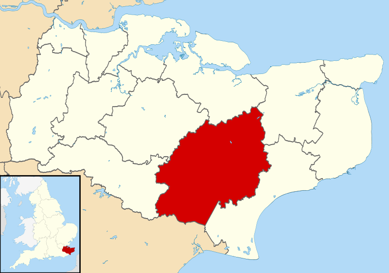
| nykyinen | 2. elokuuta 2011 kello 12.05 | | 1 425 × 1 000 (1,18 MiB) | Nilfanion | {{Information |Description=Map of Kent, UK with Ashford highlighted. Equirectangular map projection on WGS 84 datum, with N/S stretched 160% |Source=Ordnance Survey [https://www.ordnancesurvey.co.u |
Tiedoston käyttö
Seuraava sivu käyttää tätä tiedostoa:
Tiedoston järjestelmänlaajuinen käyttö
Seuraavat muut wikit käyttävät tätä tiedostoa:
- Käyttö sivustolla cy.wikipedia.org
- Käyttö sivustolla en.wikipedia.org
- Käyttö sivustolla es.wikipedia.org
- Käyttö sivustolla fr.wikipedia.org
- Ashford
- Egerton (Kent)
- Appledore (Kent)
- Godmersham
- Aldington Frith
- Ashford (borough)
- Ebony (Kent)
- Eastwell
- Small Hythe
- Rolvenden Layne
- Leigh Green
- Bromley Green
- Kingsnorth
- Brook (Kent)
- Modèle:Palette Borough d'Ashford
- Hamstreet
- Brabourne Lees
- Smeeth
- Liste des paroisses civiles du Kent
- Bethersden
- Aldington (Kent)
- Anvil Green
- Bilsington
- Bilting
- Bonnington
- Boughton Aluph
- Boughton Lees
- Brabourne
- Brattle
- Challock
- Charing
- Chilham
- Chilmington Green
- Crundale (Kent)
- Great Chart
- Hastingleigh
- High Halden
- Hothfield
- Kenardington
- Kennington (Kent)
- Little Chart
- Mersham
- Molash
- Newenden
- Orlestone
- Pluckley
- Rolvenden
Näytä lisää tämän tiedoston järjestelmänlaajuista käyttöä.