Tiedosto:Arabian Peninsula (orthographic projection).png

Tämän esikatselun koko: 600 × 600 kuvapistettä. Muut resoluutiot: 240 × 240 kuvapistettä | 480 × 480 kuvapistettä | 768 × 768 kuvapistettä | 1 024 × 1 024 kuvapistettä | 2 000 × 2 000 kuvapistettä.
Alkuperäinen tiedosto (2 000 × 2 000 kuvapistettä, 666 KiB, MIME-tyyppi: image/png)
| Tämä tiedosto on tiedostotietokanta Wikimedia Commonsista. Tiedot kuvaussivulta näkyvät alla. | .png?uselang=fi) |
Tiedoston kuvaussivu Commonsissa |
Yhteenveto
| Kuvaus |
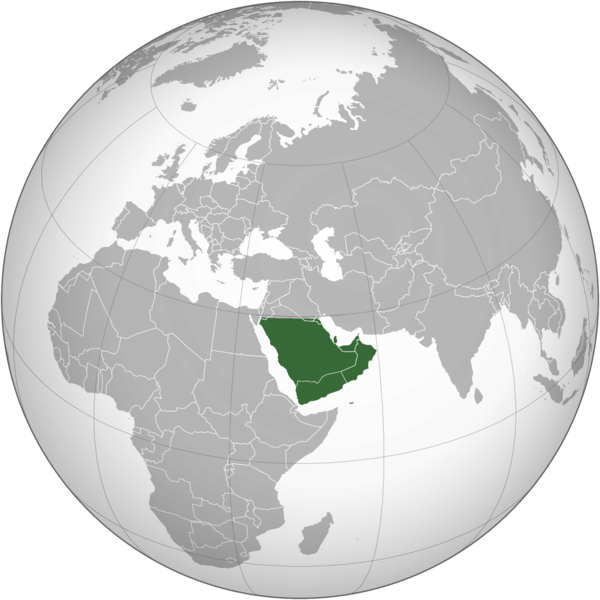
English: The Arabian Peninsula العربية: شبه الجزيرة العربية |
| Päiväys | |
| Lähde | Oma teos |
| Tekijä | Afrogindahood |
Lisenssi
| This map is ineligible for copyright and therefore in the public domain, because it consists entirely of information that is common property and contains no original authorship. For more information, see Commons:Threshold of originality § Maps.
|
Tiedoston historia
Päiväystä napsauttamalla näet, millainen tiedosto oli kyseisellä hetkellä.
| Päiväys | Pienoiskuva | Koko | Käyttäjä | Kommentti | |
|---|---|---|---|---|---|
| nykyinen | 7. maaliskuuta 2023 kello 17.14 | | 2 000 × 2 000 (666 KiB) | Treetoes023 | Reverted to version as of 23:11, 6 January 2020 (UTC): This version shows the geographic Arabian Peninsula. |
| 25. tammikuuta 2020 kello 00.24 |  | 2 000 × 2 000 (399 KiB) | Ham105 | Reverted to version as of 03:49, 7 March 2015 (UTC) | |
| 7. tammikuuta 2020 kello 02.11 |  | 2 000 × 2 000 (666 KiB) | Sariyr | Reverted to version as of 22:23, 4 January 2020 (UTC): Northern border line between the Gulf of Aqaba and the Kuwait Bay. | |
| 5. tammikuuta 2020 kello 07.06 |  | 2 000 × 2 000 (399 KiB) | Ham105 | Reverted to version as of 03:49, 7 March 2015 (UTC) unsourced - take it to the discussion page | |
| 5. tammikuuta 2020 kello 01.23 |  | 2 000 × 2 000 (666 KiB) | Sariyr | Reverted to version as of 02:46, 4 January 2020 (UTC): Northern border line between the Gulf of Akaba an the Kuwait Bay. | |
| 4. tammikuuta 2020 kello 18.37 |  | 2 000 × 2 000 (399 KiB) | Ham105 | Reverted to version as of 03:49, 7 March 2015 (UTC) | |
| 4. tammikuuta 2020 kello 05.46 |  | 2 000 × 2 000 (666 KiB) | Sariyr | Northern border line between the Gulf of Akaba an the Kuwait Bay. | |
| 7. maaliskuuta 2015 kello 06.49 |  | 2 000 × 2 000 (399 KiB) | Afrogindahood | User created page with UploadWizard |
Tiedoston käyttö
Tätä tiedostoa ei käytetä millään sivulla.
Tiedoston järjestelmänlaajuinen käyttö
Seuraavat muut wikit käyttävät tätä tiedostoa:
- Käyttö kohteessa ar.wikipedia.org
- Käyttö kohteessa arz.wikipedia.org
- Käyttö kohteessa azb.wikipedia.org
- Käyttö kohteessa bn.wikipedia.org
- Käyttö kohteessa ckb.wikipedia.org
- Käyttö kohteessa cs.wikipedia.org
- Käyttö kohteessa el.wikiversity.org
- Käyttö kohteessa en.wikipedia.org
- Käyttö kohteessa fa.wikipedia.org
- Käyttö kohteessa he.wikipedia.org
- Käyttö kohteessa hy.wikipedia.org
- Käyttö kohteessa hyw.wikipedia.org
- Käyttö kohteessa id.wikipedia.org
- Käyttö kohteessa it.wikivoyage.org
- Käyttö kohteessa kn.wikipedia.org
- Käyttö kohteessa mrj.wikipedia.org
- Käyttö kohteessa pnb.wikipedia.org
- Käyttö kohteessa ps.wikipedia.org
- Käyttö kohteessa pt.wikipedia.org
- Käyttö kohteessa sc.wikipedia.org
- Käyttö kohteessa si.wikipedia.org
- Käyttö kohteessa sl.wikipedia.org
- Käyttö kohteessa sr.wikipedia.org
- Käyttö kohteessa th.wikipedia.org
- Käyttö kohteessa ur.wikipedia.org
- Käyttö kohteessa uz.wikipedia.org
- Käyttö kohteessa vi.wikipedia.org
.png)