Tiedosto:North West Leicestershire UK locator map.svg

Tämän PNG-esikatselun koko koskien SVG-tiedostoa: 761 × 600 kuvapistettä. Muut resoluutiot: 305 × 240 kuvapistettä | 609 × 480 kuvapistettä | 975 × 768 kuvapistettä | 1 280 × 1 009 kuvapistettä | 2 560 × 2 017 kuvapistettä | 1 425 × 1 123 kuvapistettä.
Alkuperäinen tiedosto (SVG-tiedosto; oletustarkkuus 1 425 × 1 123 kuvapistettä; tiedostokoko 1 021 KiB)
| Tämä tiedosto on tiedostotietokanta Wikimedia Commonsista. Tiedot kuvaussivulta näkyvät alla. |  |
Tiedoston kuvaussivu Commonsissa |
| Kuvaus |
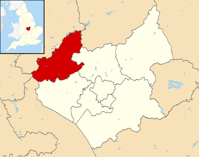
Map of Leicestershire, UK with North West Leicestershire highlighted. Equirectangular map projection on WGS 84 datum, with N/S stretched 160% |
| Päiväys | |
| Lähde |
|
| Tekijä | Nilfanion, created using Ordnance Survey data |
| Käyttöoikeus (Tämän tiedoston uudelleenkäyttö) |
Tämä tiedosto on lisensoitu Creative Commons Nimeä-JaaSamoin 3.0 Ei sovitettu -lisenssillä. Nimeä: Contains Ordnance Survey data © Crown copyright and database right
|
Tiedoston historia
Päiväystä napsauttamalla näet, millainen tiedosto oli kyseisellä hetkellä.
| Päiväys | Pienoiskuva | Koko | Käyttäjä | Kommentti | |
|---|---|---|---|---|---|
| nykyinen | 14. elokuuta 2011 kello 00.53 | | 1 425 × 1 123 (1 021 KiB) | Nilfanion | {{Information |Description=Map of Leicestershire, UK with North West Leicestershire highlighted. Equirectangular map projection on WGS 84 datum, with N/S stretched 160% |Source=[[w:Ordnance Survey|Ordn |
Tiedoston käyttö
Tätä tiedostoa ei käytetä millään sivulla.
Tiedoston järjestelmänlaajuinen käyttö
Seuraavat muut wikit käyttävät tätä tiedostoa:
- Käyttö kohteessa bg.wikipedia.org
- Käyttö kohteessa cy.wikipedia.org
- Käyttö kohteessa en.wikipedia.org
- Ashby-de-la-Zouch
- Breedon on the Hill
- Moira, Leicestershire
- Donisthorpe
- North West Leicestershire
- Coalville
- Kegworth
- Measham
- Willesley
- Whitwick
- Castle Donington
- Copt Oak
- Acresford
- Ibstock
- Heather, Leicestershire
- Belton, Leicestershire
- Ravenstone, Leicestershire
- Charley, Leicestershire
- Appleby Magna
- Snarestone
- Swepstone
- Stretton en le Field
- Bardon, Leicestershire
- Worthington, Leicestershire
- Packington
- Diseworth
- Appleby Parva
- Ellistown
- Osgathorpe
- Snibston
- Oakthorpe
- Thringstone
- Long Whatton
- Oaks in Charnwood
- Swannington, Leicestershire
- Albert Village
- Battram
- Wilson, Leicestershire
- Hemington, Leicestershire
- Blackfordby
- Coleorton
- Staunton Harold
- Normanton le Heath
- Chilcote
- Isley cum Langley
- Hugglescote
- Donington le Heath
- Griffydam
Näytä lisää tämän tiedoston järjestelmänlaajuista käyttöä.