Tiedosto:Map showing Falls Church city, Virginia.png
Tarkempaa kuvaa ei ole saatavilla.
Map_showing_Falls_Church_city,_Virginia.png (750 × 485 kuvapistettä, 35 KiB, MIME-tyyppi: image/png)
| Tämä tiedosto on tiedostotietokanta Wikimedia Commonsista. Tiedot kuvaussivulta näkyvät alla. |  |
Tiedoston kuvaussivu Commonsissa |
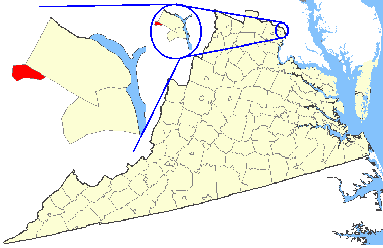
| Kuvaus | Maps of counties in Virginia |
| Lähde | http://nationalatlas.gov/ |
| Tekijä | |
| Käyttöoikeus (Tämän tiedoston uudelleenkäyttö) |
Original work of the US Federal Government - public domain |
This map was obtained from an edition of the National Atlas of the United States. Like almost all works of the U.S. federal government, works from the National Atlas are in the public domain in the United States.
Online access: NationalAtlas.gov | 1970 print edition: Library of Congress, Perry-Castañeda Library
|
Tiedoston historia
Päiväystä napsauttamalla näet, millainen tiedosto oli kyseisellä hetkellä.
| Päiväys | Pienoiskuva | Koko | Käyttäjä | Kommentti | |
|---|---|---|---|---|---|
| nykyinen | 19. helmikuuta 2007 kello 04.27 | | 750 × 485 (35 KiB) | Rfc1394 | {{Information| |Description=Maps of counties in Virginia |Source=http://nationalatlas.gov/ |Date= |Author= |Permission=Original work of the US Federal Government - public domain |other_versions= }} {{PD-USGov}} Category:Virginia maps |
Tiedoston käyttö
Seuraava sivu käyttää tätä tiedostoa:
Tiedoston järjestelmänlaajuinen käyttö
Seuraavat muut wikit käyttävät tätä tiedostoa:
- Käyttö kohteessa azb.wikipedia.org
- Käyttö kohteessa en.wikipedia.org
- Käyttö kohteessa ko.wikipedia.org
- Käyttö kohteessa nl.wikipedia.org
- Käyttö kohteessa no.wikipedia.org
- Käyttö kohteessa tr.wikipedia.org
- Käyttö kohteessa zh.wikipedia.org